


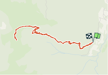

4.4 km | 7.1 km-effort


User


FREE GPS app for hiking
 SityTrail
IGN / Geographical institutes
SityTrail World
The world is yours!
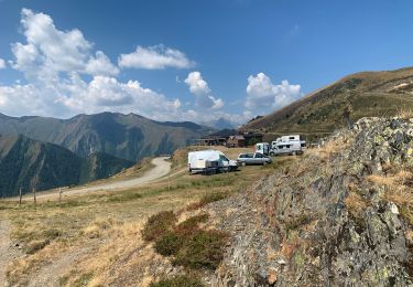
Trail Walking of 6.3 km to be discovered at Occitania, Ariège, Ustou. This trail is proposed by georghinio.
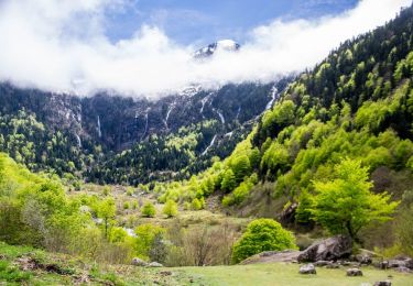
Rando au départ du gr10 de st Lizier d'Ustou , environ 1h de montée sans difficultés.


Walking

Walking
Walking
On foot
On foot

Walking

Walking
Walking
Walking
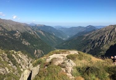
Rando facile 1h de montée et arrivée vue magnifique sur la chaîne du mont vallier