


Marennes

Bobol
User
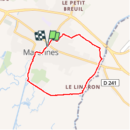

Length
6 km

Max alt
17 m

Uphill gradient
25 m
Km-Effort
6.3 km

Min alt
0 m

Downhill gradient
25 m
Boucle
Yes
Creation date :
2014-12-10 00:00:00.0
Updated on :
2014-12-10 00:00:00.0
1h20
Difficulty : Unknown

FREE GPS app for hiking
 SityTrail
IGN / Geographical institutes
SityTrail Plus
The world is yours!
About
Trail Walking of 6 km to be discovered at New Aquitaine, Charente-Maritime, Marennes-Hiers-Brouage. This trail is proposed by Bobol.
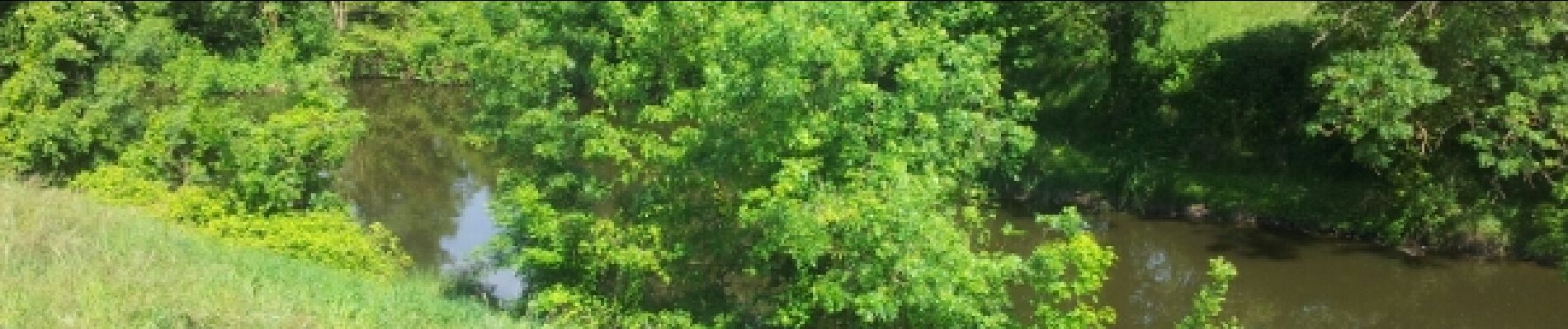
Photos


Positioning
Country:
France
Region :
New Aquitaine
Department/Province :
Charente-Maritime
Municipality :
Marennes-Hiers-Brouage
Location:
Unknown
Start:(Dec)
Start:(UTM)
647136 ; 5076042 (30T) N.
Comments