


JFT YB Repos 4-5-2014

jeff2
User
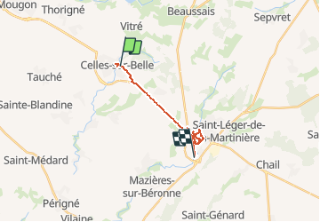

Length
17.7 km

Max alt
140 m

Uphill gradient
230 m
Km-Effort
21 km

Min alt
97 m

Downhill gradient
234 m
Boucle
No
Creation date :
2014-12-10 00:00:00.0
Updated on :
2014-12-10 00:00:00.0
3h09
Difficulty : Easy

FREE GPS app for hiking
 SityTrail
IGN / Geographical institutes
SityTrail Plus
The world is yours!
About
Trail Walking of 17.7 km to be discovered at New Aquitaine, Deux-Sèvres, Celles-sur-Belle. This trail is proposed by jeff2.
Description
Journée de repos à MELLE avec Véronique
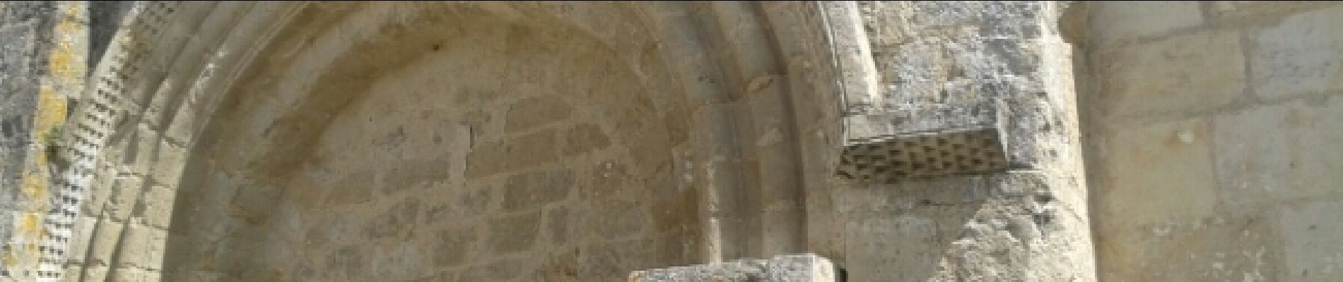
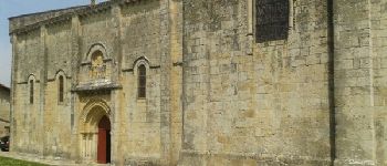
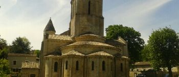
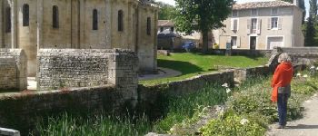
Photos


23 photos in total. Please click on a photo to see them all in the gallery.

Positioning
Country:
France
Region :
New Aquitaine
Department/Province :
Deux-Sèvres
Municipality :
Celles-sur-Belle
Location:
Celles-sur-Belle
Start:(Dec)
Start:(UTM)
715265 ; 5126845 (30T) N.
Comments