


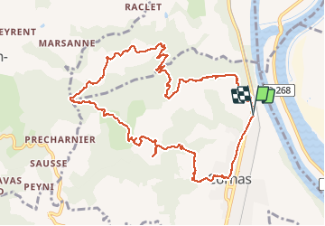

31 km | 41 km-effort


User


FREE GPS app for hiking
 SityTrail
IGN / Geographical institutes
SityTrail World
The world is yours!
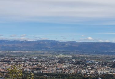
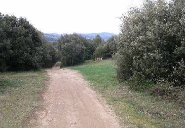
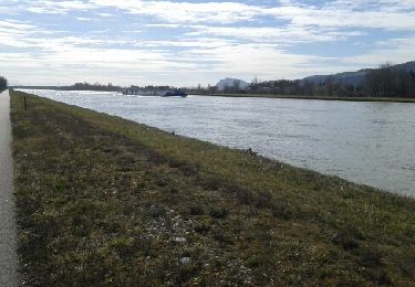
Trail Walking of 12.3 km to be discovered at Auvergne-Rhône-Alpes, Ardèche, Cornas. This trail is proposed by Gilbertbancilhon.

Mountain bike

Walking
Walking
Walking
Walking
Walking

Walking
Mountain bike
Cycle
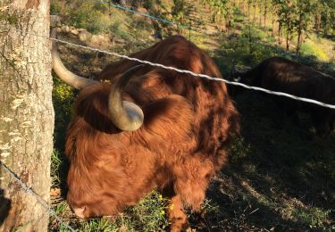
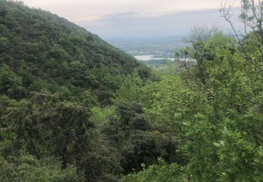
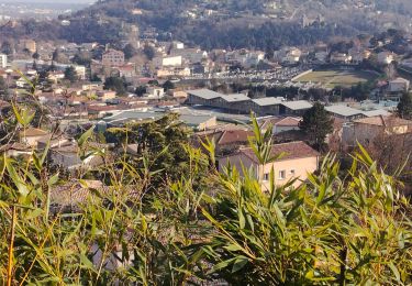
Jolie balade ardéchoise Gilbert à 2pas de Valence Michèle et Alain