


KATZENTHAL

jcschubnel
User
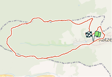

Length
5.9 km

Max alt
582 m

Uphill gradient
305 m
Km-Effort
9.9 km

Min alt
272 m

Downhill gradient
306 m
Boucle
Yes
Creation date :
2021-04-09 12:18:36.989
Updated on :
2021-04-09 15:11:36.835
2h09
Difficulty : Very easy

FREE GPS app for hiking
 SityTrail
IGN / Geographical institutes
SityTrail Plus
The world is yours!
About
Trail Walking of 5.9 km to be discovered at Grand Est, Haut-Rhin, Katzenthal. This trail is proposed by jcschubnel.
Positioning
Country:
France
Region :
Grand Est
Department/Province :
Haut-Rhin
Municipality :
Katzenthal
Location:
Unknown
Start:(Dec)
Start:(UTM)
371934 ; 5329714 (32U) N.
Comments