


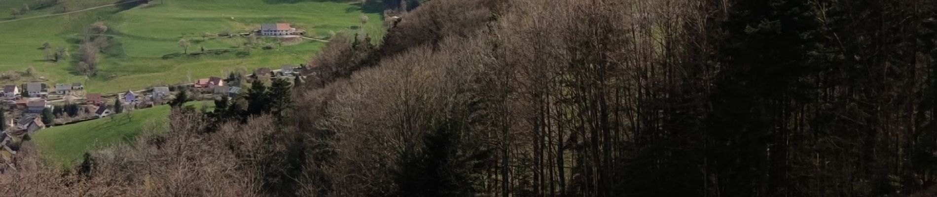
Fréland - cimetière Duchesne

duchaine.nicolas
User
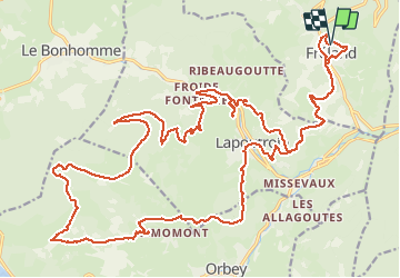

Length
35 km

Max alt
1120 m

Uphill gradient
1302 m
Km-Effort
52 km

Min alt
417 m

Downhill gradient
1300 m
Boucle
Yes
Creation date :
2021-04-09 12:51:19.634
Updated on :
2021-04-11 12:20:49.113
3h31
Difficulty : Medium
3h31
Difficulty : Medium

FREE GPS app for hiking
 SityTrail
IGN / Geographical institutes
SityTrail Plus
The world is yours!
About
Trail Mountain bike of 35 km to be discovered at Grand Est, Haut-Rhin, Fréland. This trail is proposed by duchaine.nicolas.
Description
Via Lapoutroie Kebespré Surcenord retour par le Creux d'Argent puis Orbey, Lapoutroie (parcours de santé)
Photos


Positioning
Country:
France
Region :
Grand Est
Department/Province :
Haut-Rhin
Municipality :
Fréland
Location:
Unknown
Start:(Dec)
Start:(UTM)
365797 ; 5337185 (32U) N.
Comments