


JFT YB Etape8 5-5-2014

jeff2
User
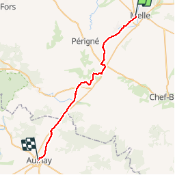

Length
35 km

Max alt
132 m

Uphill gradient
277 m
Km-Effort
38 km

Min alt
47 m

Downhill gradient
340 m
Boucle
No
Creation date :
2014-12-10 00:00:00.0
Updated on :
2014-12-10 00:00:00.0
7h49
Difficulty : Medium

FREE GPS app for hiking
 SityTrail
IGN / Geographical institutes
SityTrail Plus
The world is yours!
About
Trail Walking of 35 km to be discovered at New Aquitaine, Deux-Sèvres, Melle. This trail is proposed by jeff2.
Description
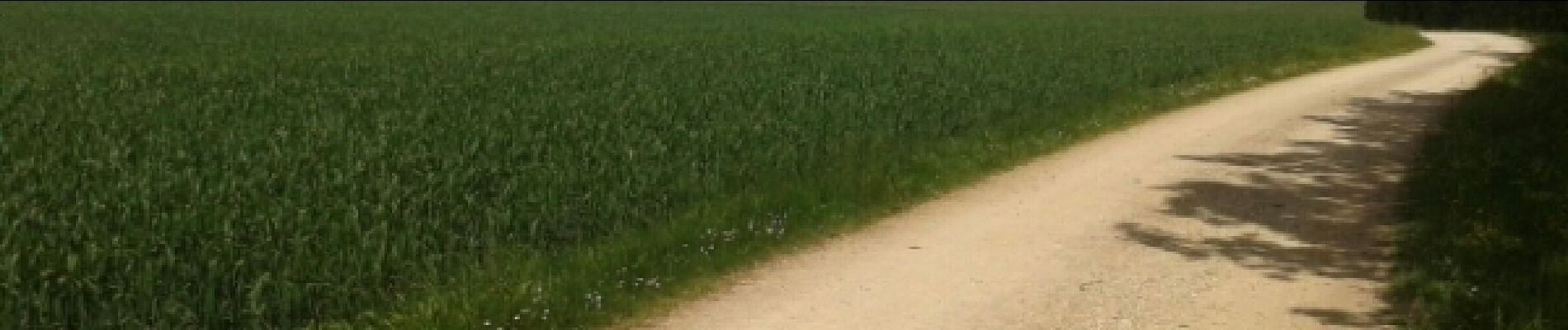
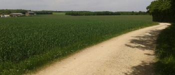
MELLE à AULNAY
Photos


Positioning
Country:
France
Region :
New Aquitaine
Department/Province :
Deux-Sèvres
Municipality :
Melle
Location:
Melle
Start:(Dec)
Start:(UTM)
719654 ; 5122814 (30T) N.
Comments