


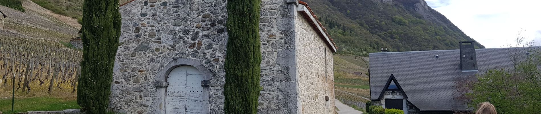
Chignin

Henri.Vekemans
User


Length
8.9 km

Max alt
527 m

Uphill gradient
234 m
Km-Effort
12.1 km

Min alt
354 m

Downhill gradient
232 m
Boucle
Yes
Creation date :
2021-04-11 08:53:05.231
Updated on :
2021-04-11 12:45:53.31
3h07
Difficulty : Difficult

FREE GPS app for hiking
 SityTrail
IGN / Geographical institutes
SityTrail Plus
The world is yours!
About
Trail Walking of 8.9 km to be discovered at Auvergne-Rhône-Alpes, Savoy, Chignin. This trail is proposed by Henri.Vekemans.
Photos


Positioning
Country:
France
Region :
Auvergne-Rhône-Alpes
Department/Province :
Savoy
Municipality :
Chignin
Location:
Unknown
Start:(Dec)
Start:(UTM)
266248 ; 5045676 (32T) N.
Comments