


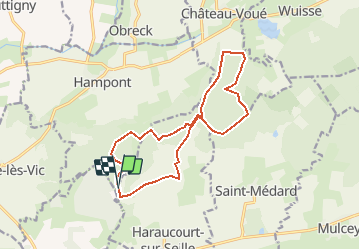

7.2 km | 9.1 km-effort


User


FREE GPS app for hiking
 SityTrail
IGN / Geographical institutes
SityTrail World
The world is yours!
Trail Nordic walking of 13.7 km to be discovered at Grand Est, Moselle, Hampont. This trail is proposed by Ajul.
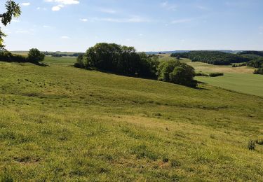
pour les randonneurs en immersions dans la Nature loin de l'agitation superficielle. l'accès au majestueux chêne du Roi est hors sentier.
belle randonnée par temps sec par monts et par vaux. Alain
Walking
Walking

Walking
Walking
Walking
Walking
Walking
Walking
Walking