


randonnée du 22-04-2021

dudu79
User
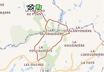

Length
7.3 km

Max alt
194 m

Uphill gradient
63 m
Km-Effort
8.1 km

Min alt
169 m

Downhill gradient
63 m
Boucle
Yes
Creation date :
2021-04-22 13:43:03.579
Updated on :
2021-04-22 16:21:19.557
1h42
Difficulty : Medium

FREE GPS app for hiking
 SityTrail
IGN / Geographical institutes
SityTrail Plus
The world is yours!
About
Trail Walking of 7.3 km to be discovered at New Aquitaine, Deux-Sèvres, Moncoutant-sur-Sèvre. This trail is proposed by dudu79.
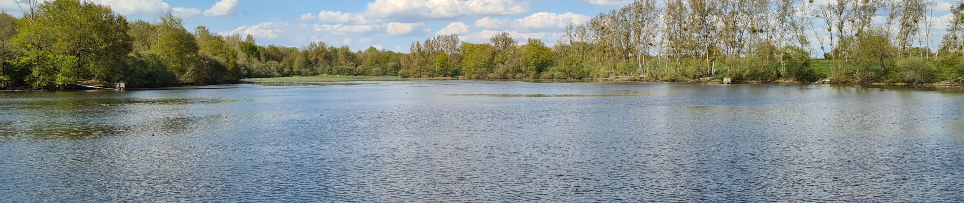
Photos

Positioning
Country:
France
Region :
New Aquitaine
Department/Province :
Deux-Sèvres
Municipality :
Moncoutant-sur-Sèvre
Location:
Pugny
Start:(Dec)
Start:(UTM)
689433 ; 5176879 (30T) N.
Comments