


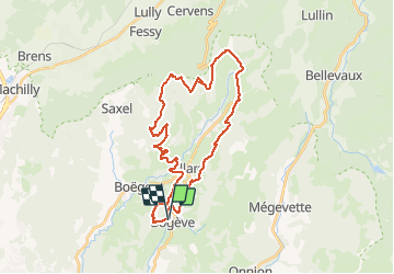

12.1 km | 25 km-effort


User


FREE GPS app for hiking
 SityTrail
IGN / Geographical institutes
SityTrail World
The world is yours!
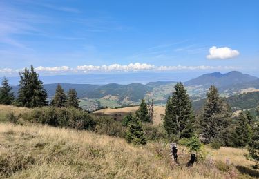
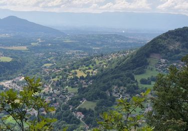
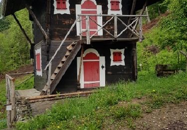
Trail Mountain bike of 32 km to be discovered at Auvergne-Rhône-Alpes, Upper Savoy, Bogève. This trail is proposed by HG74250.
Crêtes de Burdignin et Retour par le Col du Perret surla gauche de Villard.
Walking

Walking
Walking
Walking
Walking
Walking
Walking
Mountain bike
Walking