


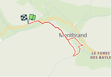

9.4 km | 18.4 km-effort

Les Hautes Alpes à découvrir ! GUIDE+


FREE GPS app for hiking
 SityTrail
IGN / Geographical institutes
SityTrail World
The world is yours!
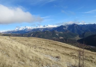
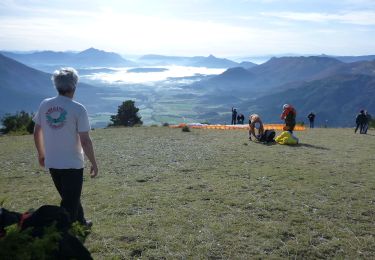
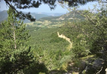
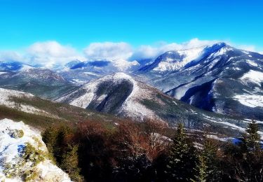
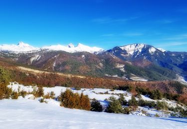
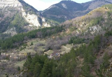
Trail On foot of 3.5 km to be discovered at Provence-Alpes-Côte d'Azur, Hautes-Alpes, Montbrand. This trail is proposed by Camping Les Rives du Lac.
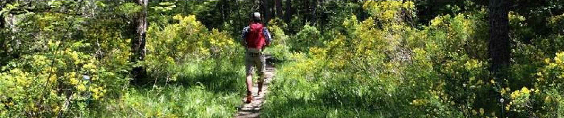
Cette randonnée adaptée aux familles saura vous envoûter par cette alternance d'ambiances forestières et champêtres qui rythme cette randonnée. Le couvert forestier est très agréable par forte chaleur.
A coupler avec une visite de la distillerie de lavande à la Faurie!
Départ : Parking en bord de route 500 m en aval de Ruynet.
 - Photo 1")
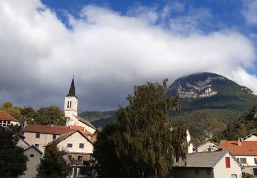
 - Photo 2")
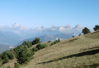
 - Photo 3")
 - Photo 4")

Walking
Walking
Walking
Walking
Walking
Walking
Walking
Walking
Walking