


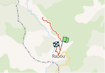

8.6 km | 18.5 km-effort

Les Hautes Alpes à découvrir ! GUIDE+


FREE GPS app for hiking
 SityTrail
IGN / Geographical institutes
SityTrail World
The world is yours!
Trail On foot of 6.6 km to be discovered at Provence-Alpes-Côte d'Azur, Hautes-Alpes, Rabou. This trail is proposed by Camping Les Rives du Lac.
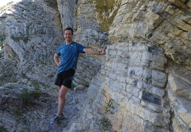
Il s'agit d'un chemin muletier se frayant un chemin à travers les falaises dominant le petit Buech. La vue sur Bure est magnifique. C'est un sentier en aller retour et il est très agréable de terminer la rando en descendant jusqu'au pont Romain pour un pic nique les pieds dans l'eau !


Walking
Walking
Mountain bike

Mountain bike

Mountain bike
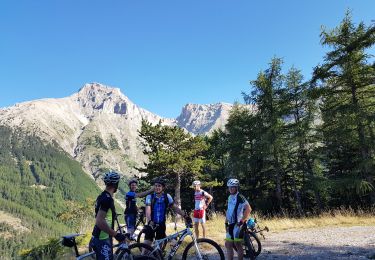
Mountain bike
Walking
Walking
Walking