


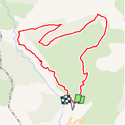


8.6 km | 18.5 km-effort

Les Hautes Alpes à découvrir ! GUIDE+


FREE GPS app for hiking
 SityTrail
IGN / Geographical institutes
SityTrail World
The world is yours!
Trail Walking of 11.1 km to be discovered at Provence-Alpes-Côte d'Azur, Hautes-Alpes, Rabou. This trail is proposed by Camping Les Rives du Lac.
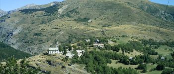
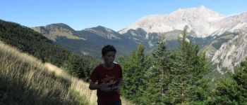
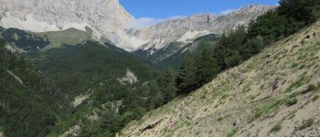
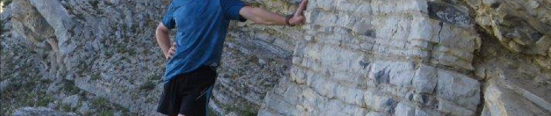
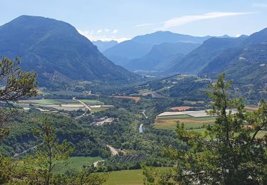
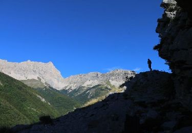
A beautiful varied hike. Do not be discouraged by the first climb from the village of Rabou. You will descend through a very wild valley and end up on the way to the gorge of Buëch, a little airy and beautiful! Warning: do not do if the terrain is slippery because a passage would become dangerous. The village of Rabou with its church above the gorge is remarkable. Beautiful swimming possibilities down the torrent "the river" just before arriving at Rabou. (At the bridge, take the small path going up the stream by the left, then go down in the bed of the river). The most interesting is swimming at the waterfall Rabou. (See the list of bathing places)


Walking
Walking
Mountain bike
On foot

Mountain bike

Mountain bike
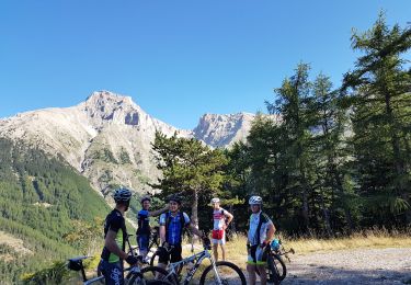
Mountain bike
Walking
Walking