


Vallée de Malipougne 01-05-2021

jmrobin
User
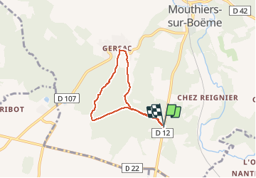

Length
5.2 km

Max alt
143 m

Uphill gradient
96 m
Km-Effort
6.5 km

Min alt
82 m

Downhill gradient
96 m
Boucle
Yes
Creation date :
2021-05-01 12:13:10.634
Updated on :
2021-05-01 13:31:10.192
1h17
Difficulty : Medium

FREE GPS app for hiking
 SityTrail
IGN / Geographical institutes
SityTrail Plus
The world is yours!
About
Trail Walking of 5.2 km to be discovered at New Aquitaine, Charente, Mouthiers-sur-Boëme. This trail is proposed by jmrobin.
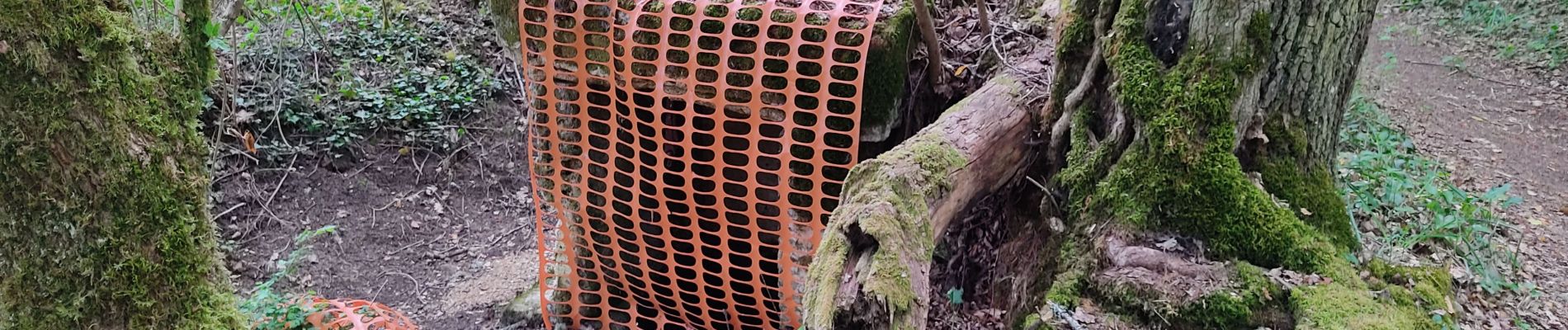
Photos

Positioning
Country:
France
Region :
New Aquitaine
Department/Province :
Charente
Municipality :
Mouthiers-sur-Boëme
Location:
Unknown
Start:(Dec)
Start:(UTM)
274856 ; 5046387 (31T) N.
Comments