


Lestelle les grottes G4

LouisROGER
User GUIDE


Length
10.8 km

Max alt
472 m

Uphill gradient
223 m
Km-Effort
13.8 km

Min alt
295 m

Downhill gradient
215 m
Boucle
Yes
Creation date :
2021-05-03 13:28:36.895
Updated on :
2021-06-12 16:25:05.112
3h07
Difficulty : Difficult
1h07
Difficulty : Easy

FREE GPS app for hiking
 SityTrail
IGN / Geographical institutes
SityTrail Plus
The world is yours!
About
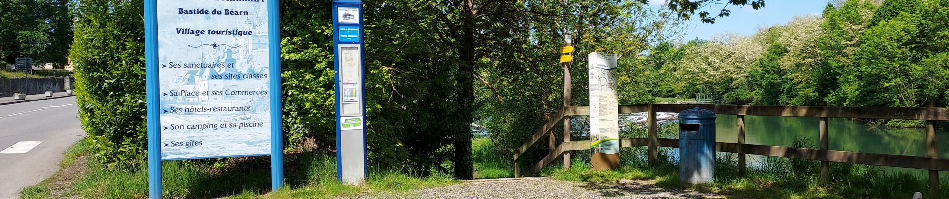
Trail Walking of 10.8 km to be discovered at New Aquitaine, Pyrénées-Atlantiques, Lestelle-Bétharram. This trail is proposed by LouisROGER.
Photos


Positioning
Country:
France
Region :
New Aquitaine
Department/Province :
Pyrénées-Atlantiques
Municipality :
Lestelle-Bétharram
Location:
Unknown
Start:(Dec)
Start:(UTM)
727166 ; 4778458 (30T) N.
Comments