


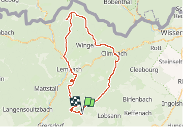


23 km | 32 km-effort

Promouvoir le Tourisme Equestre en Alsace GUIDE+


FREE GPS app for hiking
 SityTrail
IGN / Geographical institutes
SityTrail World
The world is yours!
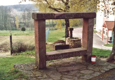
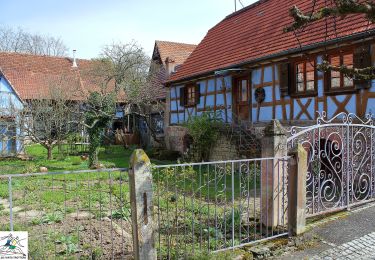
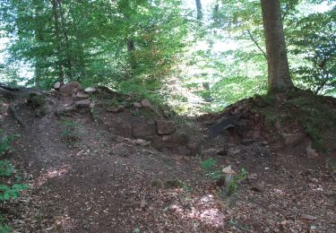
Trail Horseback riding of 34 km to be discovered at Grand Est, Bas-Rhin, Lampertsloch. This trail is proposed by Tourisme Equestre Alsace.
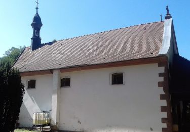
Boucle au départ de Lampertsloch adaptée aux attelages en passant par Four a Chaux, le Gimbelhof et Climbach (Chapelle).


Mountain bike

On foot
On foot
On foot
On foot