


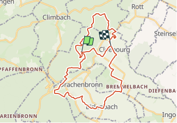

18.4 km | 26 km-effort

Tous les sentiers balisés d’Europe PRO


FREE GPS app for hiking
 SityTrail
IGN / Geographical institutes
SityTrail World
The world is yours!
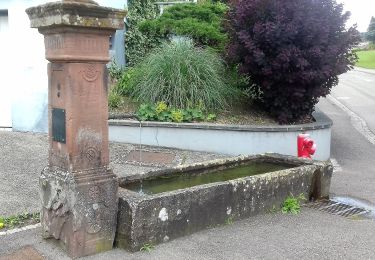
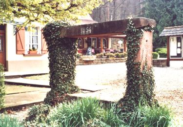
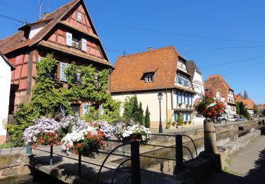
Trail On foot of 20 km to be discovered at Grand Est, Bas-Rhin, Cleebourg. This trail is proposed by SityTrail - itinéraires balisés pédestres.
Trail created by Club Vosgien.


Horseback riding

Mountain bike
On foot

On foot

On foot
On foot