


AR Biriatou - col d'Ibardin

pacha56
User
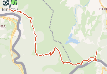

Length
16.7 km

Max alt
530 m

Uphill gradient
686 m
Km-Effort
26 km

Min alt
47 m

Downhill gradient
685 m
Boucle
Yes
Creation date :
2021-05-08 07:24:45.902
Updated on :
2021-05-08 19:28:28.657
12h02
Difficulty : Easy

FREE GPS app for hiking
 SityTrail
IGN / Geographical institutes
SityTrail Plus
The world is yours!
About
Trail Walking of 16.7 km to be discovered at New Aquitaine, Pyrénées-Atlantiques, Biriatou. This trail is proposed by pacha56.
Description
On suit le GR10, belles vues sur Fontarrabie, côte Basque et la Rhune.
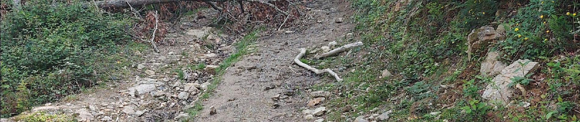
Photos


Positioning
Country:
France
Region :
New Aquitaine
Department/Province :
Pyrénées-Atlantiques
Municipality :
Biriatou
Location:
Unknown
Start:(Dec)
Start:(UTM)
601891 ; 4798632 (30T) N.
Comments