


Fréland Kalblin

duchaine.nicolas
User


Length
7.6 km

Max alt
897 m

Uphill gradient
118 m
Km-Effort
10.4 km

Min alt
455 m

Downhill gradient
500 m
Boucle
No
Creation date :
2021-05-09 08:46:56.51
Updated on :
2021-05-09 09:45:33.427
57m
Difficulty : Easy
57m
Difficulty : Very easy

FREE GPS app for hiking
 SityTrail
IGN / Geographical institutes
SityTrail Plus
The world is yours!
About
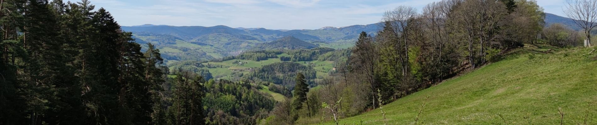
Trail Mountain bike of 7.6 km to be discovered at Grand Est, Haut-Rhin, Aubure. This trail is proposed by duchaine.nicolas.
Photos

Positioning
Country:
France
Region :
Grand Est
Department/Province :
Haut-Rhin
Municipality :
Aubure
Location:
Unknown
Start:(Dec)
Start:(UTM)
367512 ; 5338854 (32U) N.
Comments