


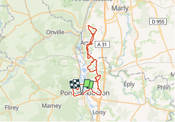

19.9 km | 26 km-effort

User


FREE GPS app for hiking
 SityTrail
IGN / Geographical institutes
SityTrail World
The world is yours!
Trail Mountain bike of 58 km to be discovered at Grand Est, Meurthe-et-Moselle, Pont-à-Mousson. This trail is proposed by PhilippeC54.
assistance : 1/2
conso
batt 5/10
ext 2/5


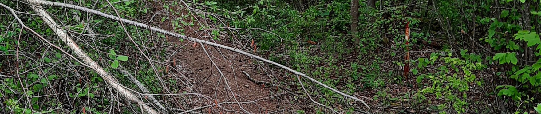
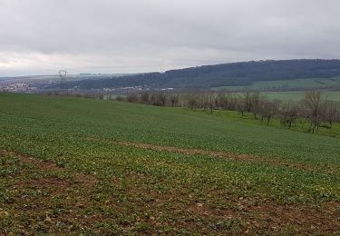
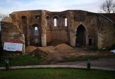
Mountain bike
Cycle
Road bike
Walking
Walking

Walking
Walking
Walking
Walking