


Heimsbrunn Galfingue

ROPPJP
User
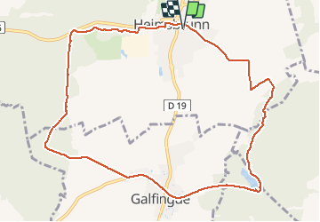

Length
11 km

Max alt
312 m

Uphill gradient
135 m
Km-Effort
12.8 km

Min alt
268 m

Downhill gradient
136 m
Boucle
Yes
Creation date :
2021-05-12 06:45:12.245
Updated on :
2021-05-12 09:04:42.345
2h19
Difficulty : Difficult

FREE GPS app for hiking
 SityTrail
IGN / Geographical institutes
SityTrail Plus
The world is yours!
About
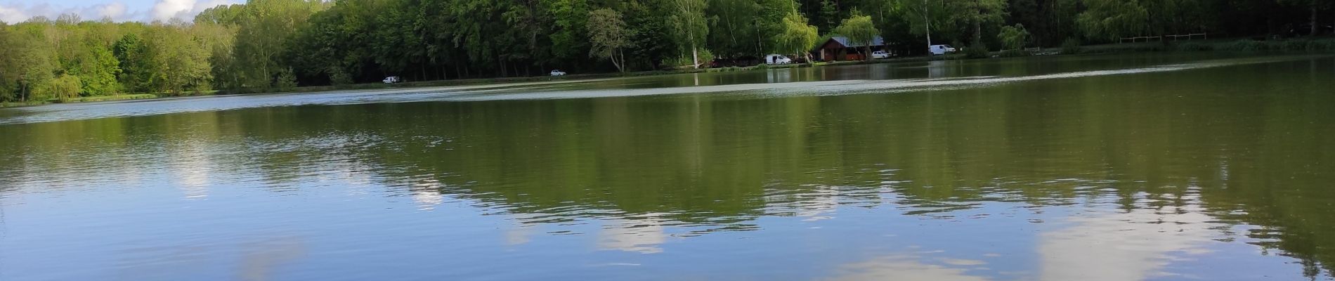
Trail Walking of 11 km to be discovered at Grand Est, Haut-Rhin, Heimsbrunn. This trail is proposed by ROPPJP.
Photos

Positioning
Country:
France
Region :
Grand Est
Department/Province :
Haut-Rhin
Municipality :
Heimsbrunn
Location:
Unknown
Start:(Dec)
Start:(UTM)
367129 ; 5287441 (32T) N.
Comments