


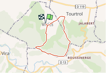

5.2 km | 7 km-effort


User


FREE GPS app for hiking
 SityTrail
IGN / Geographical institutes
SityTrail World
The world is yours!
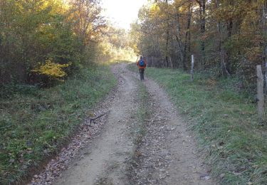
Trail Walking of 6.2 km to be discovered at Occitania, Ariège, Viviès. This trail is proposed by ch2slv.
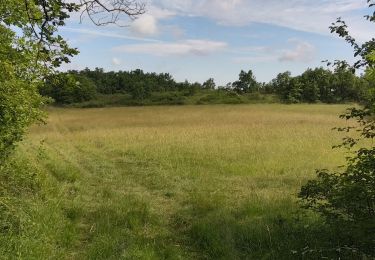
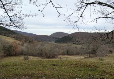
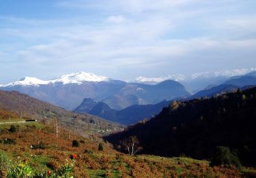
Beaucoup de sous-bois et vue très dégagée depuis la crête avec les Pyrénées ( -enneigées) en toile de fond.
Le tracé se trompe à un moment en voulant suivre l'ancien tracé.
Il faut continuer tout droit sur la G de la haie, jusqu'en haut et passer par la barrière en bois.

Walking

Equestrian
Equestrian
Walking
Walking
Walking
Rando très sympa mais 1 partie du trajet n'existe pas. Je mets le tracé exact sur : "Autour de Vivies 2"