


21 05 13

jmbilger
User
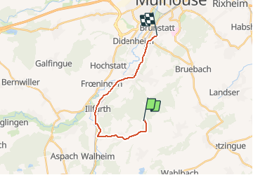

Length
14.8 km

Max alt
402 m

Uphill gradient
151 m
Km-Effort
17.1 km

Min alt
244 m

Downhill gradient
251 m
Boucle
No
Creation date :
2021-05-13 15:19:28.0
Updated on :
2021-05-13 16:54:52.144
1h33
Difficulty : Difficult

FREE GPS app for hiking
 SityTrail
IGN / Geographical institutes
SityTrail Plus
The world is yours!
About
Trail Walking of 14.8 km to be discovered at Grand Est, Haut-Rhin, Luemschwiller. This trail is proposed by jmbilger.
Positioning
Country:
France
Region :
Grand Est
Department/Province :
Haut-Rhin
Municipality :
Luemschwiller
Location:
Unknown
Start:(Dec)
Start:(UTM)
373291 ; 5280601 (32T) N.
Comments