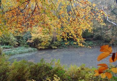
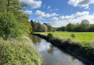
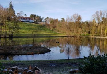
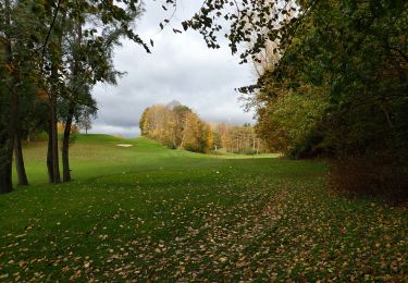
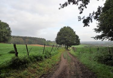
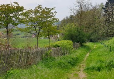
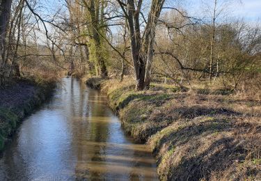
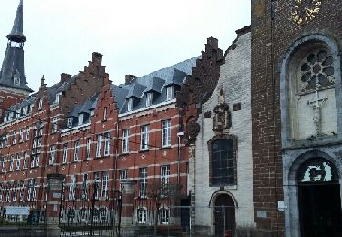
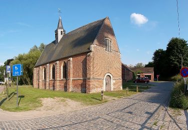
Trail Walking Rixensart - w-belgie-rond-rosieres - Photo

w-belgie-rond-rosieres

© OpenStreetMap contributors
Length
Length
9.7 km
Max alt
Max alt
103 m
Uphill gradient
Uphill gradient
120 m
Km-Effort
Km-Effort  
11.3 km
Min alt
Min alt
44 m
Downhill gradient
Downhill gradient
121 m
Boucle
Boucle
Yes
Creation date :
2014-12-10 00:00:00.0
Updated on :
2014-12-10 00:00:00.0

(0 Reviews)

Walking
Walking
--
Difficulty : Unknown

Scan this QR Code to open this trail in the SityTrail application

FREE GPS app for hiking

Logo SityTrail SityTrail

IGN / Geographical institutes

Download SityTrail from the App Store Download SityTrail from Google Play

Logo SityTrail SityTrail World

The world is yours!

Download SityTrail from the App Store Download SityTrail from Google Play Download SityTrail on Huawei AppGallery

About

Trail Walking of 9.7 km to be discovered at Wallonia, Walloon Brabant, Rixensart. This trail is proposed by gpstracks.

Description

More information on GPStracks.nl : http://www.gpstracks.nl

Elevation profile

Points of interest

Point of interest Rixensart - START - Photo
gpstracks
RIXENSART 

Positioning

Country:
Belgium
Region :
Wallonia
Department/Province :
Walloon Brabant
Municipality :
Rixensart
Location:
Rosières
Start:(UTM)
609597 ; 5621405 (31U) N.

Trails nearby

Trail Walking Rixensart - Balade de Rixensart au lac de Genval - Photo
Walking
GUIDE
Desrumaux

Walking

Easy
(2)
Rixensart, Wallonia, Walloon Brabant, Belgium
10.8 km | 13.3 km-effort
2h 52min
Yes
Trail Walking Overijse - #230220 - Terlanen, Schaatbroekbos, GR579 - Photo
Walking
Randos Ouvertes

Walking

Medium
(1)
Overijse, Flanders, Flemish Brabant, Belgium
7.2 km | 8.4 km-effort
1h 55min
Yes
Trail Walking La Hulpe - Genval 0222 - Photo
Walking
calofrancis

Walking

Medium
(1)
La Hulpe, Wallonia, Walloon Brabant, Belgium
10.3 km | 12.1 km-effort
2h 21min
Yes
Trail Walking Wavre - #201030 - Wavre, Bois ste Anne, Golf, Parc des Saules et Orangerie - Photo
Walking
Randos Ouvertes

Walking

Medium
(2)
Wavre, Wallonia, Walloon Brabant, Belgium
7.7 km | 9.4 km-effort
1h 57min
Yes
Trail Walking Huldenberg - #191230a - Ottenburg, Rondebos & St Agatha-Rodebos - Photo
Walking
Randos Ouvertes

Walking

Medium
(1)
Huldenberg, Flanders, Flemish Brabant, Belgium
8.1 km | 10.3 km-effort
2h 13min
Yes
Trail Walking Huldenberg - Terlanen - Up and Down - Photo
Walking
GaetanHouart

Walking

Medium
(2)
Huldenberg, Flanders, Flemish Brabant, Belgium
8.4 km | 10.7 km-effort
2h 25min
Yes
Trail Walking Wavre - Wavre Downtown - Photo
Walking
GaetanHouart

Walking

Difficult
(1)
Wavre, Wallonia, Walloon Brabant, Belgium
11.5 km | 13.2 km-effort
3h 0min
Yes
Trail Walking Wavre - Basse Wavre Hiver 03 01 2017 Nathalie Demain - Photo
Walking
ThierryGABRIEL

Walking

Easy
(1)
Wavre, Wallonia, Walloon Brabant, Belgium
13.5 km | 16 km-effort
6h 41min
Yes
Trail On foot Overijse - Justius Lipsius wandelpad - Photo
On foot
PRO

On foot

Easy
(1)
Overijse, Flanders, Flemish Brabant, Belgium
10.2 km | 12.4 km-effort
2h 49min
Yes


Close
My subscriptions