


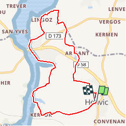


23 km | 28 km-effort


User


FREE GPS app for hiking
 SityTrail
IGN / Geographical institutes
SityTrail World
The world is yours!
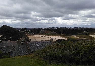
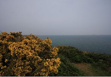
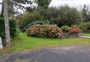
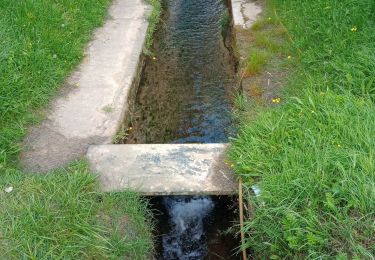
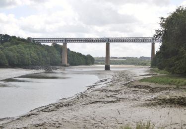
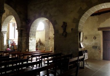
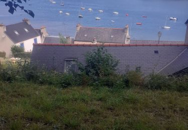
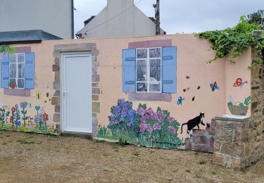
Trail Walking of 9 km to be discovered at Brittany, Finistère, Henvic. This trail is proposed by gpstracks.
More information on GPStracks.nl : http://www.gpstracks.nl
Other activity
Walking
Walking
On foot
On foot

On foot
Walking
Walking