Trail On foot Bouillon - 2021-04-27 15:42:43 - Photo

2021-04-27 15:42:43

© OpenStreetMap contributors
Length
Length
8.7 km
Max alt
Max alt
396 m
Uphill gradient
Uphill gradient
269 m
Km-Effort
Km-Effort  
12.3 km
Min alt
Min alt
217 m
Downhill gradient
Downhill gradient
271 m
Boucle
Boucle
Yes
Creation date :
2021-05-16 08:22:35.186
Updated on :
2021-05-16 08:54:18.629

(0 Reviews)

On foot
On foot
2h47
Difficulty : Easy

Scan this QR Code to open this trail in the SityTrail application

FREE GPS app for hiking

Logo SityTrail SityTrail

IGN / Geographical institutes

Download SityTrail from the App Store Download SityTrail from Google Play

Logo SityTrail SityTrail Plus

The world is yours!

Download SityTrail from the App Store Download SityTrail from Google Play Download SityTrail on Huawei AppGallery

About

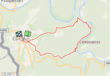
Trail On foot of 8.7 km to be discovered at Wallonia, Luxembourg, Bouillon. This trail is proposed by Luberon1963.

Description

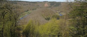
Balade au départ de Corbion permettant de découvrir visuellement quelques points remarquables de la région (côté "Est").
- Rocher du pendu
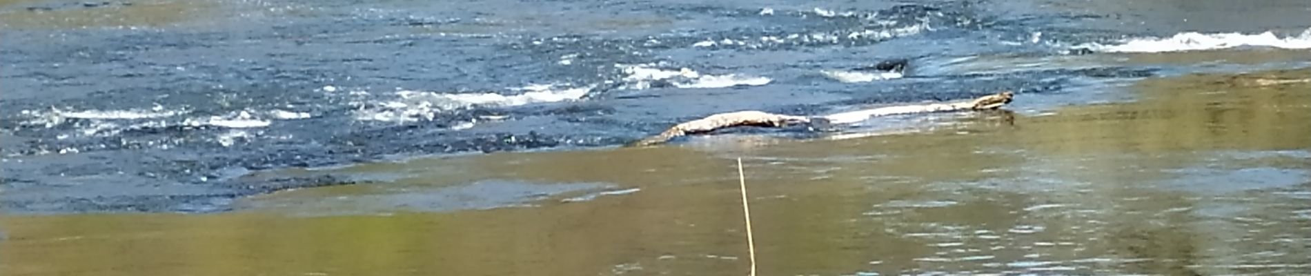
- Marche au fil de l'eau face à Abbaye de Clairefontaine (Cordemois)
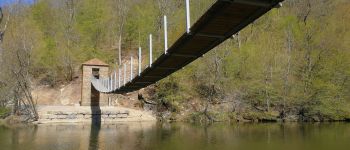
- Passerelle de l' Epine
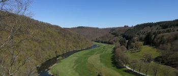
- Point de vue de l'Epine
- Point de vue des Augustins
- Divers vue sur les hauteurs de Rochehaut (notamment vers Agri Musée > Jumelles nécessaires!)

Elevation profile

Photos

Points of interest

Point of interest Bouillon - Rocher du pendu - Photo
Luberon1963
BOUILLON 
Point of interest Bouillon - Passerelle de l'Epine - Photo
Luberon1963
Point of interest Bouillon - Abbaye de Clairefontaine (Cordemois) - Photo
Luberon1963

Positioning

Country:
Belgium
Region :
Wallonia
Department/Province :
Luxembourg
Municipality :
Bouillon
Location:
Corbion
Start:(UTM)
644677 ; 5517971 (31U) N.


Close
My subscriptions