


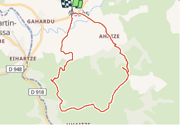

14.5 km | 26 km-effort

User


FREE GPS app for hiking
 SityTrail
IGN / Geographical institutes
SityTrail World
The world is yours!
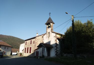
Trail Walking of 10.3 km to be discovered at New Aquitaine, Pyrénées-Atlantiques, Ossès. This trail is proposed by ThonyM.
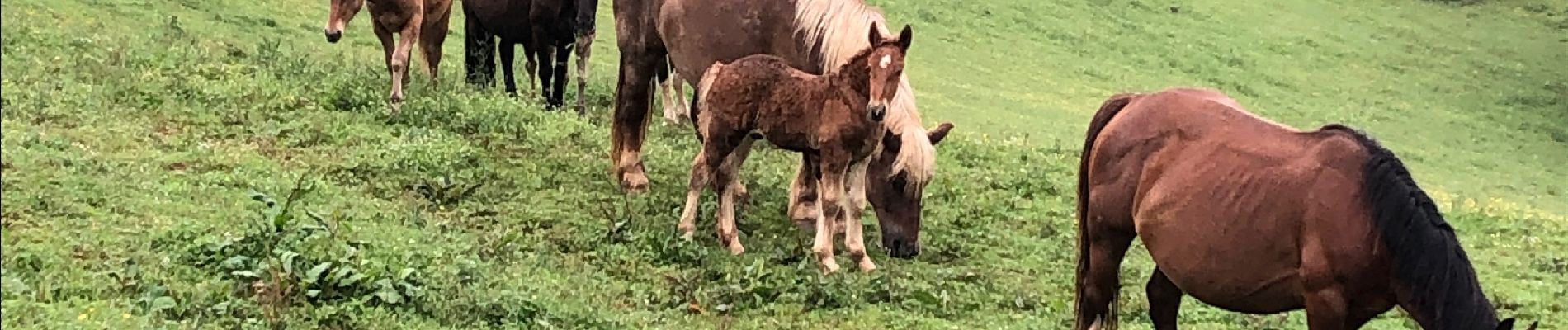
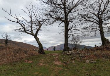
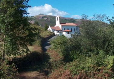
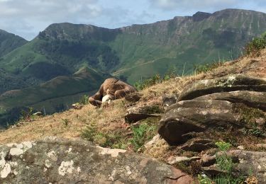
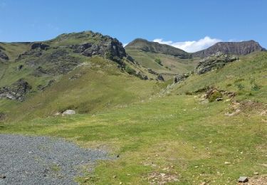
Le pays Basque offre aussi des vues magnifiques


Walking
Walking
Walking
Walking
Walking
Walking
Walking
Walking
Other activity
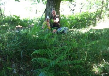
chouette randonnée, serait parfaite sans les mouches...