


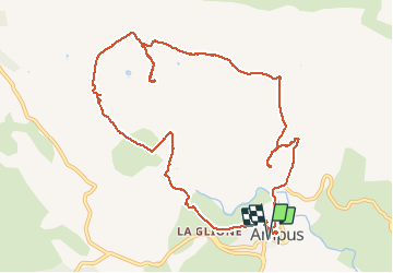

10.1 km | 13.3 km-effort


User


FREE GPS app for hiking
 SityTrail
IGN / Geographical institutes
SityTrail World
The world is yours!
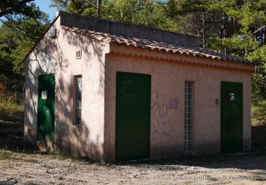
Trail Walking of 13 km to be discovered at Provence-Alpes-Côte d'Azur, Var, Ampus. This trail is proposed by chrifor.


Walking

Walking
Walking
Walking
Walking
Walking
Walking

Walking
Walking
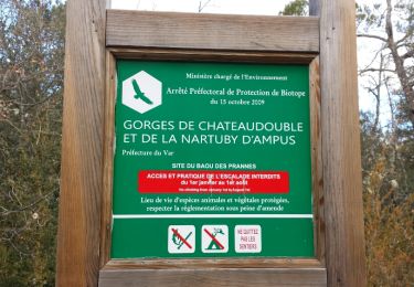
randonnée fermée et inaccessible au point 624 ,le chemin proposé étant celui d une propriété privée.j ai du modifier le circuit en remontant beaucoup plus haut.