


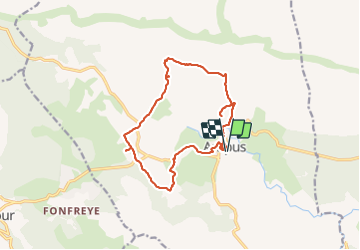


10.1 km | 13.3 km-effort

User


FREE GPS app for hiking
 SityTrail
IGN / Geographical institutes
SityTrail World
The world is yours!
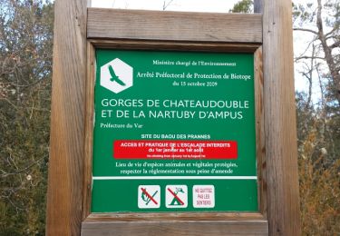
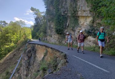
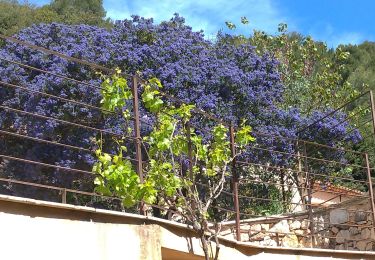
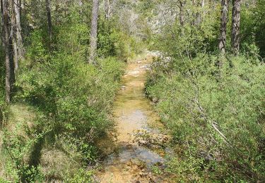
Trail Walking of 15.3 km to be discovered at Provence-Alpes-Côte d'Azur, Var, Ampus. This trail is proposed by jean-marie.parachini.
randonnée par le canal la chapelle la charbonnière.


37 photos in total. Please click on a photo to see them all in the gallery.

Walking
Walking
Walking
Walking
Walking
Walking
Walking
Walking
Walking