


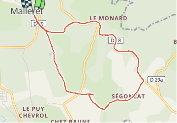
Roc de Pierre Fade

Lecoester
User

Length
5.1 km

Max alt
839 m

Uphill gradient
104 m
Km-Effort
6.5 km

Min alt
766 m

Downhill gradient
104 m
Boucle
Yes
Creation date :
2021-05-20 08:27:55.843
Updated on :
2021-05-20 09:46:41.127
1h16
Difficulty : Easy

FREE GPS app for hiking
 SityTrail
IGN / Geographical institutes
SityTrail Plus
The world is yours!
About
Trail Walking of 5.1 km to be discovered at New Aquitaine, Creuse, Malleret. This trail is proposed by Lecoester.
Description
circuit facile avec un panorama sur les monts du massif central. beaucoup de route sur la fin (dommage)
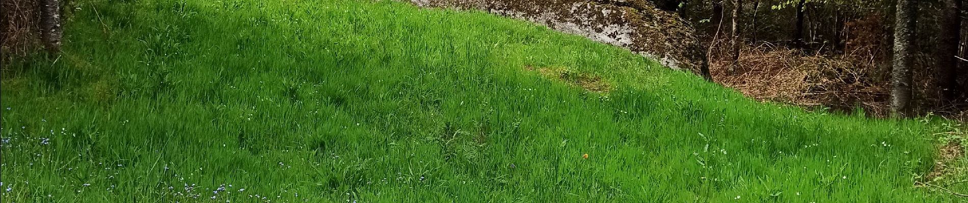
Photos


Positioning
Country:
France
Region :
New Aquitaine
Department/Province :
Creuse
Municipality :
Malleret
Location:
Unknown
Start:(Dec)
Start:(UTM)
447147 ; 5068164 (31T) N.
Comments