


7.3 km | 9.5 km-effort


User


FREE GPS app for hiking
 SityTrail
IGN / Geographical institutes
SityTrail World
The world is yours!
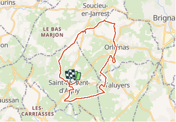
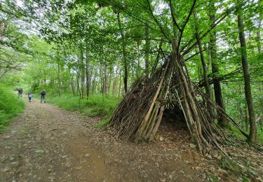
Trail Walking of 17 km to be discovered at Auvergne-Rhône-Alpes, Rhône, Saint-Laurent-d'Agny. This trail is proposed by mimi69670.
Départ de St Laurent d'Agny, parc animation vers étang, Orlienas, Soucieu en Jarrest, passage vers chapelle St Vincent, St Laurent d'Agnu


Walking
Mountain bike
Walking
Walking
Walking
Other activity
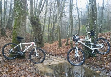
Mountain bike

sport
On foot