


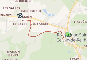

18.7 km | 26 km-effort

User


FREE GPS app for hiking
 SityTrail
IGN / Geographical institutes
SityTrail World
The world is yours!
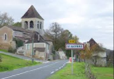
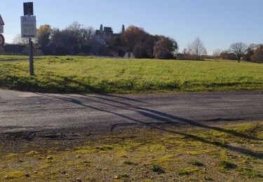
Trail Walking of 2 km to be discovered at New Aquitaine, Dordogne, Rouffignac-Saint-Cernin-de-Reilhac. This trail is proposed by jcc24.
Circuit Aller/Retour depuis le parking du Cheylard (près de la pharmacie) à Rouffignac-St Cernin (4Km et 50 min au total pour l'aller/retour par le même chemin)


Electric bike
On foot
On foot

On foot
Walking

Walking
Walking
Walking
Walking