


BAYONS . col des Sagnes , Peyrouret , Picouse , bergerie de Gautiere , Piaure , Giaire n

RobinMicheline
User GUIDE


Length
12.4 km

Max alt
1620 m

Uphill gradient
645 m
Km-Effort
21 km

Min alt
1108 m

Downhill gradient
649 m
Boucle
Yes
Creation date :
2021-05-26 04:59:35.937
Updated on :
2021-05-26 10:54:15.701
3h41
Difficulty : Medium

FREE GPS app for hiking
 SityTrail
IGN / Geographical institutes
SityTrail Plus
The world is yours!
About
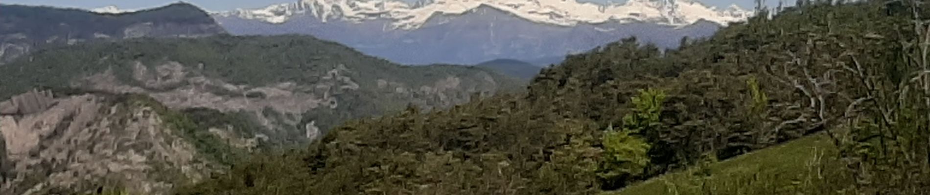
Trail Walking of 12.4 km to be discovered at Provence-Alpes-Côte d'Azur, Alpes-de-Haute-Provence, Bayons. This trail is proposed by RobinMicheline.
Photos


Positioning
Country:
France
Region :
Provence-Alpes-Côte d'Azur
Department/Province :
Alpes-de-Haute-Provence
Municipality :
Bayons
Location:
Astoin
Start:(Dec)
Start:(UTM)
274074 ; 4917402 (32T) N.
Comments