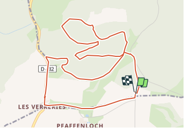


24 km | 34 km-effort


User


FREE GPS app for hiking
 SityTrail
IGN / Geographical institutes
SityTrail World
The world is yours!
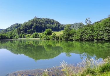
Trail Walking of 6.8 km to be discovered at Grand Est, Haut-Rhin, Winkel. This trail is proposed by JCLUTT.
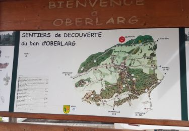
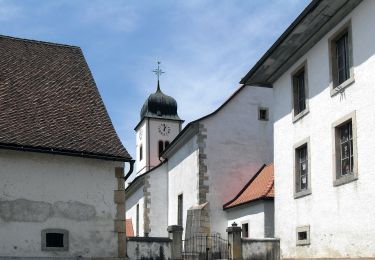
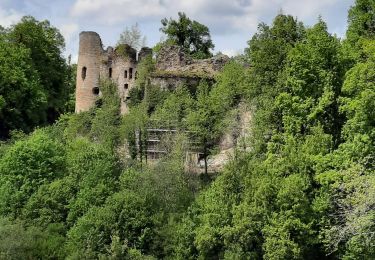
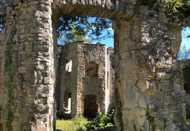
Petite balade apéritive ou digestive après un excellent repas au Petit Kohlberg ! A conseiller pour son accueil et la qualité du restaurant ! Ne pas oublier de faire un tour à la source de L'Ill et visiter la chapelle de Warth du 14ème siècle à Winkel.

Walking
On foot
Walking

On foot
On foot
On foot
Walking
Walking