


5 km | 6 km-effort


User


FREE GPS app for hiking
 SityTrail
IGN / Geographical institutes
SityTrail World
The world is yours!
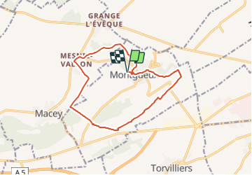
Trail Walking of 13.3 km to be discovered at Grand Est, Aube, Montgueux. This trail is proposed by NANE51.
Départ de la salle polyvalente


Walking
Walking


Walking


Walking
Walking
Walking
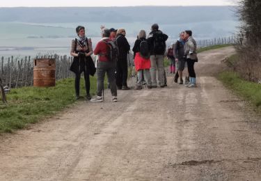
superbe parcours