


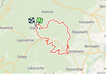
Fréland - Kaysersberg

duchaine.nicolas
User

Length
33 km

Max alt
749 m

Uphill gradient
1056 m
Km-Effort
47 km

Min alt
240 m

Downhill gradient
1055 m
Boucle
Yes
Creation date :
2021-05-29 15:01:14.099
Updated on :
2021-05-29 19:47:13.319
2h32
Difficulty : Easy
2h33
Difficulty : Very easy

FREE GPS app for hiking
 SityTrail
IGN / Geographical institutes
SityTrail Plus
The world is yours!
About
Trail Mountain bike of 33 km to be discovered at Grand Est, Haut-Rhin, Fréland. This trail is proposed by duchaine.nicolas.
Description
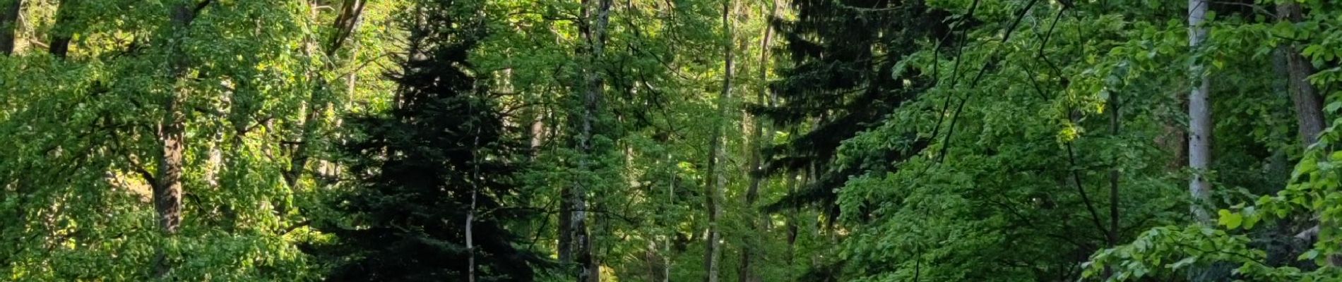
Via les "montagnes"
Photos


Positioning
Country:
France
Region :
Grand Est
Department/Province :
Haut-Rhin
Municipality :
Fréland
Location:
Unknown
Start:(Dec)
Start:(UTM)
365794 ; 5337171 (32U) N.
Comments