


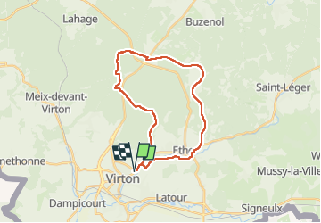


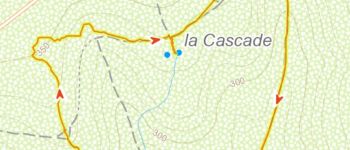


29 km | 35 km-effort

User


FREE GPS app for hiking
 SityTrail
IGN / Geographical institutes
SityTrail World
The world is yours!
Trail Mountain bike of 24 km to be discovered at Wallonia, Luxembourg, Virton. This trail is proposed by Pascal L.
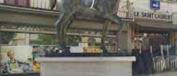
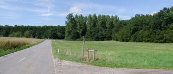
Départ/Retour: Virton (Delhaize)
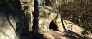
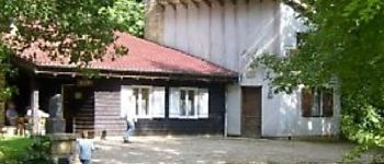
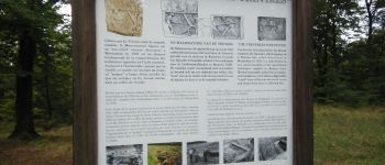
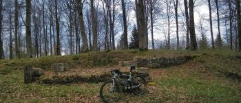
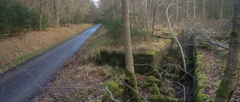
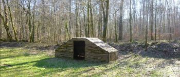
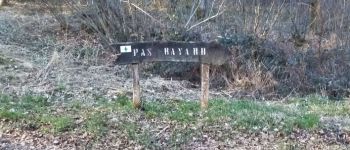
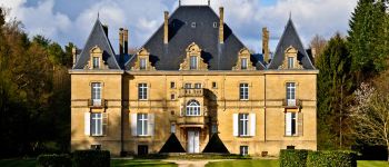
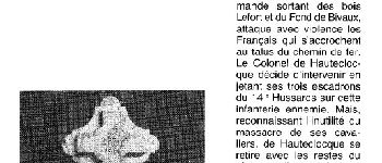
Endrois de passage: Pierrard, Ethe, Laclaireau, Ravel (ligne 155), Bois Lacquet, Croix-Rouge, la Foire, Hambressart et son ruisseau, Merlanvau, Ruisseau de la Saint-Jean, Bois de Robelmont (le Posson), Fond d'Awé, Repaire des Zigomars, Fontaine de la Mère-Dieu, Fausse aux Aunes, Valée de Rabais
Vidéos (2):
1) https://vimeo.com/736465285
2) https://vimeo.com/736469041
Ref.
- https://www.mini-ardenne.be/poi.card.php?language=fr&id=1665
- https://www.cirkwi.com/fr/point-interet/948560-croix-rouge
- https://www.tvlux.be/video/info/economie/croix-rouge-la-sapiniere-rouvre-ses-portes_27041.html
(2021.04.04)


Walking

Mountain bike

Walking

On foot

Walking

Walking

Equestrian

Mountain bike

Mountain bike