


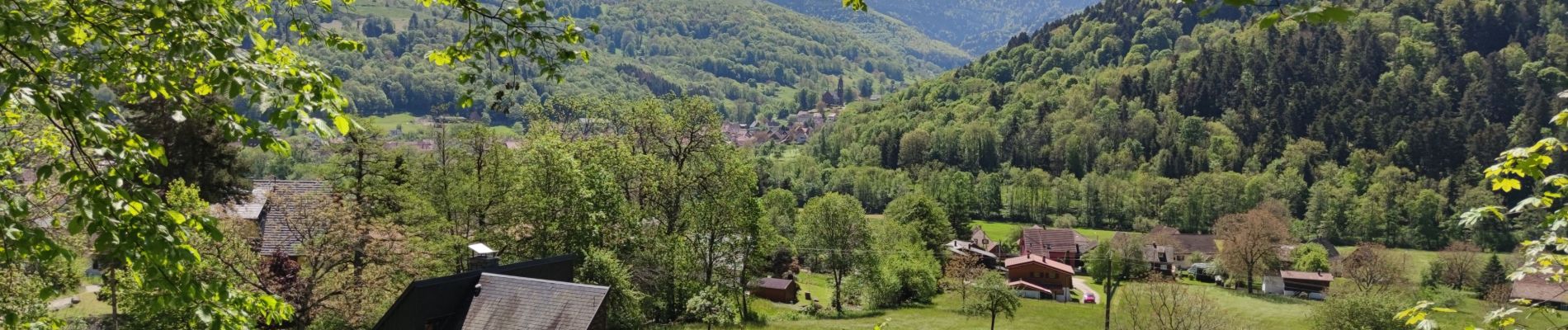
Munster Gaschney Metzeral

duchaine.nicolas
User
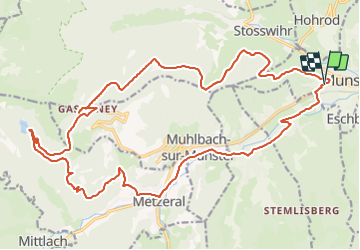

Length
26 km

Max alt
1016 m

Uphill gradient
767 m
Km-Effort
36 km

Min alt
387 m

Downhill gradient
766 m
Boucle
Yes
Creation date :
2021-05-30 07:50:46.427
Updated on :
2021-05-30 10:13:31.271
2h22
Difficulty : Easy
2h22
Difficulty : Easy

FREE GPS app for hiking
 SityTrail
IGN / Geographical institutes
SityTrail Plus
The world is yours!
About
Trail Mountain bike of 26 km to be discovered at Grand Est, Haut-Rhin, Munster. This trail is proposed by duchaine.nicolas.
Photos


Positioning
Country:
France
Region :
Grand Est
Department/Province :
Haut-Rhin
Municipality :
Munster
Location:
Unknown
Start:(Dec)
Start:(UTM)
360475 ; 5322435 (32U) N.
Comments