ANTONAVES, LES GORGES DE LA MEOUGE , ROCHER DU CHATEAU o s

RobinMicheline
User GUIDE
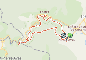

Length
11 km

Max alt
768 m

Uphill gradient
461 m
Km-Effort
17.2 km

Min alt
565 m

Downhill gradient
465 m
Boucle
Yes
Creation date :
2021-05-31 04:53:02.625
Updated on :
2021-05-31 13:07:59.931
3h12
Difficulty : Medium

FREE GPS app for hiking
 SityTrail
IGN / Geographical institutes
SityTrail Plus
The world is yours!
About
Trail Walking of 11 km to be discovered at Provence-Alpes-Côte d'Azur, Hautes-Alpes, Val-Buëch-Méouge. This trail is proposed by RobinMicheline.
Description
Rando sympa , sentier au dessus des gorges , retour par bois de chenes ombrager , facile , agreable
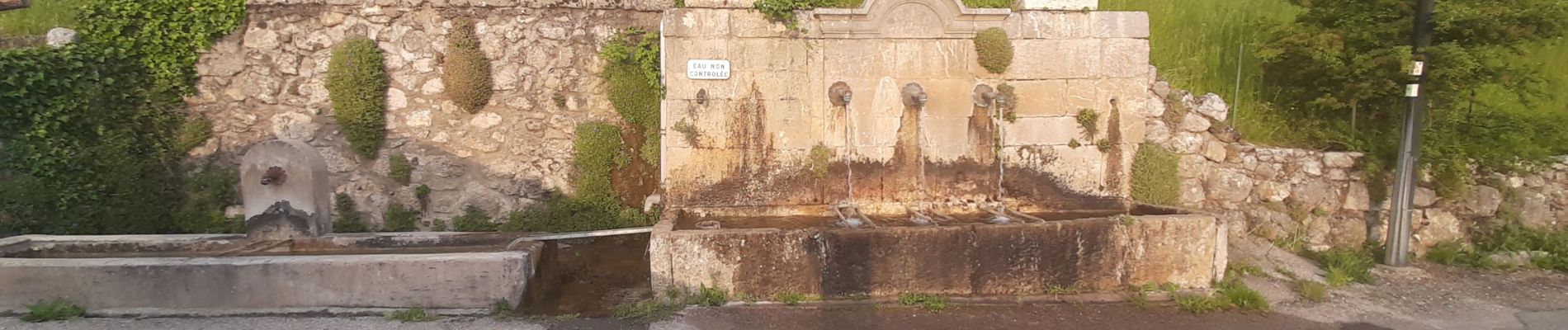
Photos


Positioning
Country:
France
Region :
Provence-Alpes-Côte d'Azur
Department/Province :
Hautes-Alpes
Municipality :
Val-Buëch-Méouge
Location:
Antonaves
Start:(Dec)
Start:(UTM)
723822 ; 4905249 (31T) N.
Comments