


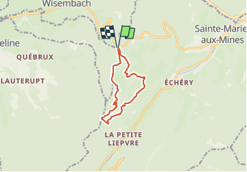
col ste Marie aux Mines

lacote
User

Length
10.2 km

Max alt
970 m

Uphill gradient
374 m
Km-Effort
15.1 km

Min alt
696 m

Downhill gradient
370 m
Boucle
Yes
Creation date :
2021-06-06 08:45:07.371
Updated on :
2021-06-06 13:48:45.364
5h02
Difficulty : Medium

FREE GPS app for hiking
 SityTrail
IGN / Geographical institutes
SityTrail Plus
The world is yours!
About
Trail Walking of 10.2 km to be discovered at Grand Est, Haut-Rhin, Sainte-Marie-aux-Mines. This trail is proposed by lacote.
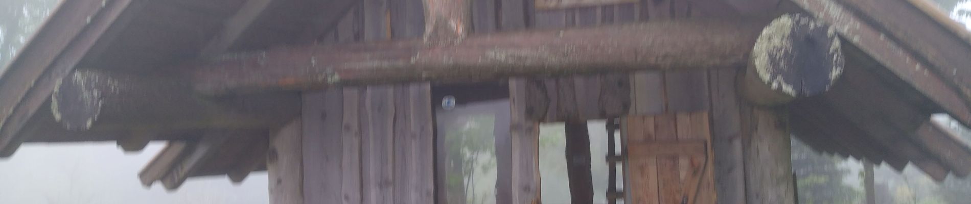
Photos

Positioning
Country:
France
Region :
Grand Est
Department/Province :
Haut-Rhin
Municipality :
Sainte-Marie-aux-Mines
Location:
Unknown
Start:(Dec)
Start:(UTM)
361376 ; 5344994 (32U) N.
Comments