Trail Walking Saint-André-de-Rosans - SAINT ANDRE DE ROSANS - SERRE DE BOUT - Photo
© OpenStreetMap contributors
Length
Length
9.7 km
Max alt
Max alt
927 m
Uphill gradient
Uphill gradient
294 m
Km-Effort
Km-Effort  
13.6 km
Min alt
Min alt
729 m
Downhill gradient
Downhill gradient
294 m
Boucle
Boucle
Yes
Creation date :
2021-06-07 07:59:28.713
Updated on :
2021-06-07 16:25:31.998

(0 Reviews)

Walking
Walking
7h48
Difficulty : Easy

Scan this QR Code to open this trail in the SityTrail application

FREE GPS app for hiking

Logo SityTrail SityTrail

IGN / Geographical institutes

Download SityTrail from the App Store Download SityTrail from Google Play

Logo SityTrail SityTrail World

The world is yours!

Download SityTrail from the App Store Download SityTrail from Google Play Download SityTrail on Huawei AppGallery

About

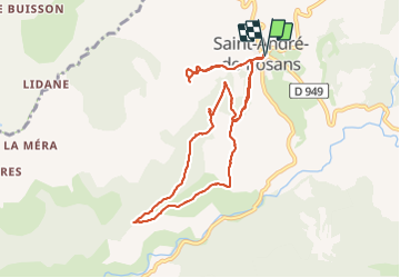
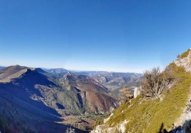
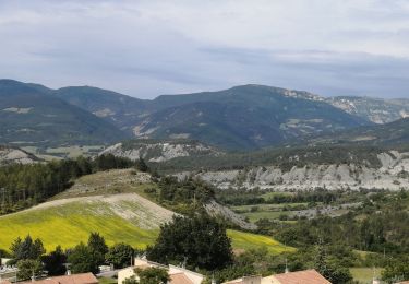
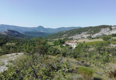
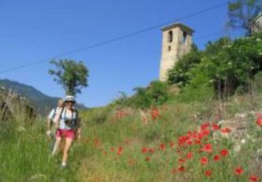
Trail Walking of 9.7 km to be discovered at Provence-Alpes-Côte d'Azur, Hautes-Alpes, Saint-André-de-Rosans. This trail is proposed by jean-marie.parachini.

Description

le Rosannais dans les Hautes-Alpes

Elevation profile

Photos

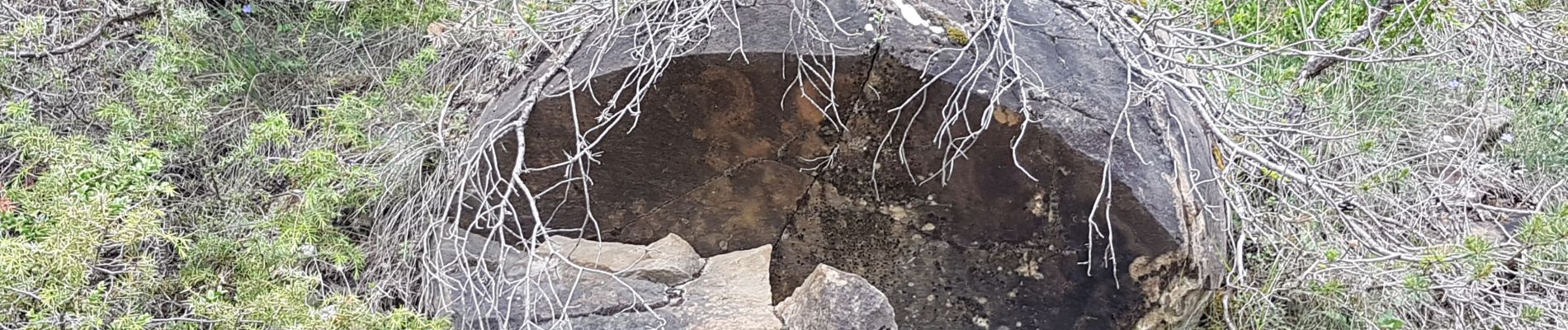
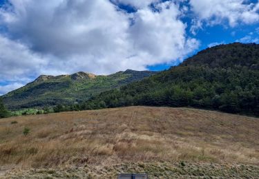
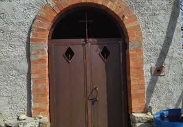
26 photos in total. Please click on a photo to see them all in the gallery.

Positioning

Country:
France
Region :
Provence-Alpes-Côte d'Azur
Department/Province :
Hautes-Alpes
Municipality :
Saint-André-de-Rosans
Location:
Unknown
Start:(UTM)
700307 ; 4916816 (31T) N.

Trails nearby

Trail Walking Rosans - Le Fourchat - Photo
Walking
Marco05

Walking

Difficult
Rosans, Provence-Alpes-Côte d'Azur, Hautes-Alpes, France
12.1 km | 24 km-effort
5h 21min
Yes
Trail Walking Saint-André-de-Rosans - 05 risou - Photo
Walking
himba26100

Walking

Medium
Saint-André-de-Rosans, Provence-Alpes-Côte d'Azur, Hautes-Alpes, France
15.4 km | 25 km-effort
7h 16min
No
Trail Walking Ribeyret - Sommet de la Maraysse - Photo
Walking
PapouBertrand

Walking

Difficult
Ribeyret, Provence-Alpes-Côte d'Azur, Hautes-Alpes, France
9.2 km | 18.1 km-effort
5h 50min
Yes
Trail Mountain bike Rosans - HA J2 long - Photo
Mountain bike
thierryd

Mountain bike

Very easy
(2)
Rosans, Provence-Alpes-Côte d'Azur, Hautes-Alpes, France
48 km | 65 km-effort
4h 12min
No
Trail Walking Rosans - le mont Fourchat - Photo
Walking
Vero7684

Walking

Medium
Rosans, Provence-Alpes-Côte d'Azur, Hautes-Alpes, France
11.9 km | 24 km-effort
4h 36min
Yes
Trail Walking Rosans - GRP Baronnies Rosans Rémuzat 19km - Photo
Walking
GUIDE
thonyc

Walking

Difficult
Rosans, Provence-Alpes-Côte d'Azur, Hautes-Alpes, France
18.6 km | 28 km-effort
6h 51min
No
Trail Walking Rosans - Tour des Baronnies du Buëch - Rosans - Les Viarrands - Photo
Walking
tracegps

Walking

Medium
(1)
Rosans, Provence-Alpes-Côte d'Azur, Hautes-Alpes, France
9.8 km | 13.9 km-effort
3h 30min
No
Trail Mountain bike Ribeyret - Grande Traversée des PréAlpes à VTT : Col de Roure - Montjay - Photo
Mountain bike
tracegps

Mountain bike

Difficult
Ribeyret, Provence-Alpes-Côte d'Azur, Hautes-Alpes, France
13.9 km | 19.4 km-effort
1h 30min
No
Trail Car Ribeyret - trajet sdl-MONTPELLIER 130123 - Photo
Car
GUIDE
David25400

Car

Very easy
Ribeyret, Provence-Alpes-Côte d'Azur, Hautes-Alpes, France
217 km | 248 km-effort
6h 51min
No


Close
My subscriptions