


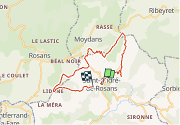

12.1 km | 24 km-effort

User


FREE GPS app for hiking
 SityTrail
IGN / Geographical institutes
SityTrail World
The world is yours!
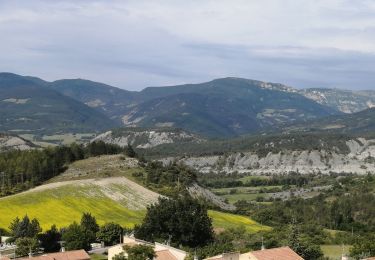
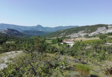
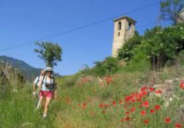
Trail Walking of 15.4 km to be discovered at Provence-Alpes-Côte d'Azur, Hautes-Alpes, Saint-André-de-Rosans. This trail is proposed by himba26100.
zel


Walking
Walking
Walking

Mountain bike
Walking
Walking
Walking

Mountain bike

Car