


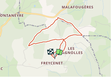

6.8 km | 10.1 km-effort

User


FREE GPS app for hiking
 SityTrail
IGN / Geographical institutes
SityTrail World
The world is yours!
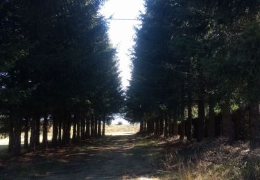
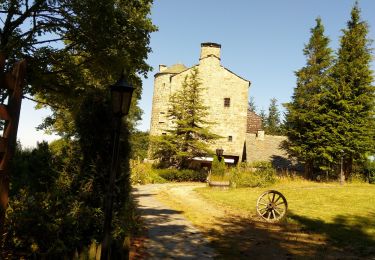
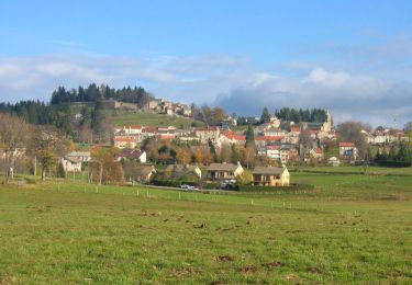
Trail Walking of 4.1 km to be discovered at Auvergne-Rhône-Alpes, Ardèche, Saint-Agrève. This trail is proposed by mallovon.
Boucle presque à plat, avec vue.


Walking
Walking

Mountain bike

Walking
Walking
Walking
Walking
Walking
Walking