


3M1jour

JPS73
User
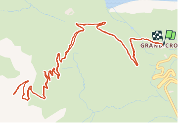

Length
11.6 km

Max alt
2374 m

Uphill gradient
517 m
Km-Effort
18.5 km

Min alt
1879 m

Downhill gradient
517 m
Boucle
Yes
Creation date :
2021-06-13 09:36:19.41
Updated on :
2021-06-14 06:30:55.559
3h42
Difficulty : Difficult

FREE GPS app for hiking
 SityTrail
IGN / Geographical institutes
SityTrail Plus
The world is yours!
About
Trail Walking of 11.6 km to be discovered at Auvergne-Rhône-Alpes, Savoy, Val-Cenis. This trail is proposed by JPS73.
Positioning
Country:
France
Region :
Auvergne-Rhône-Alpes
Department/Province :
Savoy
Municipality :
Val-Cenis
Location:
Lanslebourg-Mont-Cenis
Start:(Dec)
Start:(UTM)
339481 ; 5009414 (32T) N.
Comments