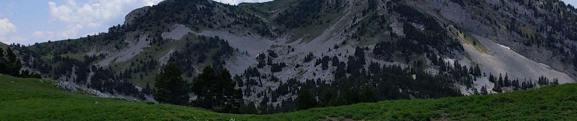
Tête des Chaudières depuis clôt de la Balme par la Combe de Fer

bymarc26
User


Length
10.8 km

Max alt
2018 m

Uphill gradient
834 m
Km-Effort
22 km

Min alt
1233 m

Downhill gradient
834 m
Boucle
Yes
Creation date :
2021-06-15 08:03:45.65
Updated on :
2021-06-15 13:25:15.162
3h41
Difficulty : Difficult

FREE GPS app for hiking
 SityTrail
IGN / Geographical institutes
SityTrail Plus
The world is yours!
About
Trail Walking of 10.8 km to be discovered at Auvergne-Rhône-Alpes, Isère, Corrençon-en-Vercors. This trail is proposed by bymarc26.
Description
Au dessus de la terrasse (photo) la pente est vraiment très raide mais la trace bien visible.
Photos


Positioning
Country:
France
Region :
Auvergne-Rhône-Alpes
Department/Province :
Isère
Municipality :
Corrençon-en-Vercors
Location:
Unknown
Start:(Dec)
Start:(UTM)
699172 ; 4988328 (31T) N.
Comments