


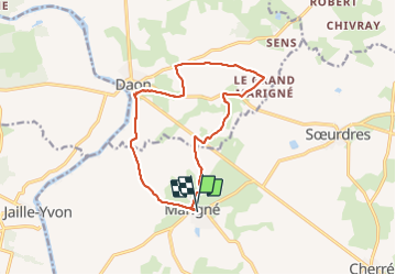

22 km | 26 km-effort


User


FREE GPS app for hiking
 SityTrail
IGN / Geographical institutes
SityTrail World
The world is yours!
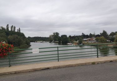
Trail Walking of 13 km to be discovered at Pays de la Loire, Maine-et-Loire, Les Hauts-d'Anjou. This trail is proposed by piquet.

Walking
Electric bike
Walking

Walking
Walking
Walking
Walking

Other activity

Bicycle tourism