


Tour du Lac Aureilhan

lhomme.ph
User GUIDE
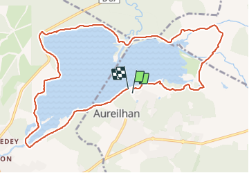

Length
12.8 km

Max alt
22 m

Uphill gradient
96 m
Km-Effort
14.1 km

Min alt
4 m

Downhill gradient
99 m
Boucle
Yes
Creation date :
2021-06-15 14:24:25.643
Updated on :
2021-06-15 16:49:43.892
2h24
Difficulty : Difficult

FREE GPS app for hiking
 SityTrail
IGN / Geographical institutes
SityTrail Plus
The world is yours!
About
Trail Walking of 12.8 km to be discovered at New Aquitaine, Landes, Aureilhan. This trail is proposed by lhomme.ph.
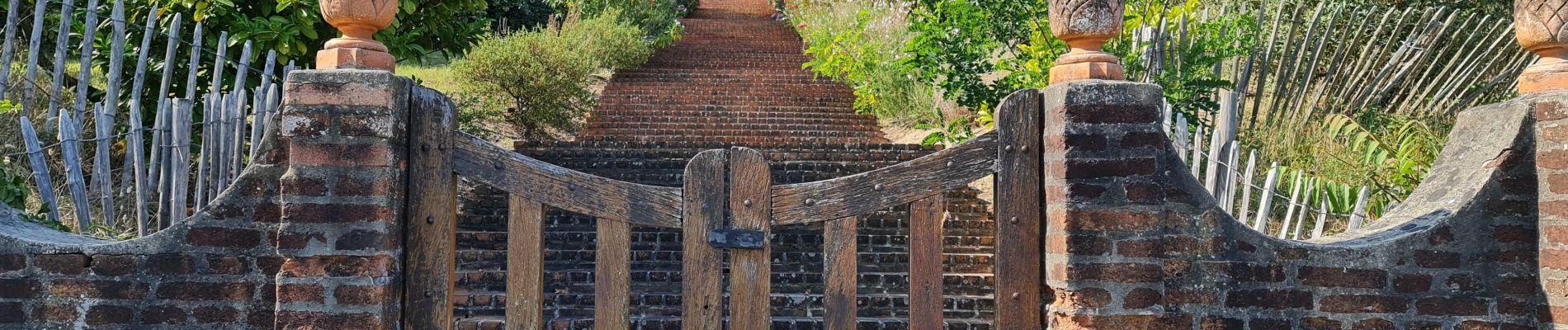
Photos


Positioning
Country:
France
Region :
New Aquitaine
Department/Province :
Landes
Municipality :
Aureilhan
Location:
Unknown
Start:(Dec)
Start:(UTM)
643734 ; 4898254 (30T) N.
Comments