Trail Walking Saint-Sulpice-de-Pommeray - Saint-Sulpice-de-Pommeray - Photo
 guydu41
guydu41

User

© OpenStreetMap contributors
Length
Length
24 km
Max alt
Max alt
164 m
Uphill gradient
Uphill gradient
360 m
Km-Effort
Km-Effort  
29 km
Min alt
Min alt
73 m
Downhill gradient
Downhill gradient
360 m
Boucle
Boucle
Yes
Creation date :
15/06/2021 05:29
Updated on :
12/09/2021 05:03

(0 Reviews)

Walking
Walking
8h41
Difficulty : Medium

Scan this QR Code to open this trail in the SityTrail application

FREE GPS app for hiking

Logo SityTrail SityTrail

IGN / Geographical institutes

Download SityTrail from the App Store Download SityTrail from Google Play

Logo SityTrail SityTrail World

The world is yours!

Download SityTrail from the App Store Download SityTrail from Google Play Download SityTrail on Huawei AppGallery

About

Trail Walking of 24 km to be discovered at Centre-Loire Valley, Loir-et-Cher, Saint-Sulpice-de-Pommeray. This trail is proposed by guydu41.

Description

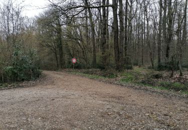
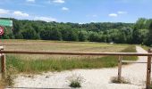
Très belle randonnée sur la journée principalement sur des sentiers et chemins très variés, à travers forêt, bois, champs, vallons, villages, hameaux, lieux-dits, dans une vallée, à flanc de coteaux, etc.
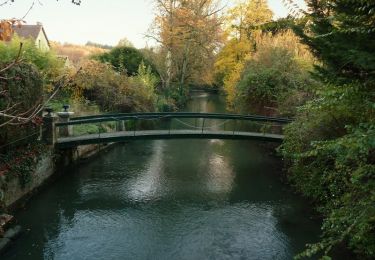
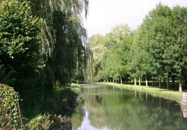
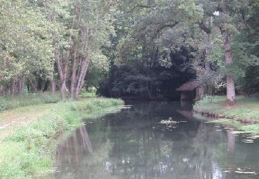
Passage à côté de grottes, sources, églises, chapelle, château, lavoirs, bambouseraie, sous une ancienne porte médiévale, le long d'une rivière, au milieu d'un marais équipé de pontons en bois, etc.
Plusieurs aires de pique-nique aménagées sur le parcours.
Départ/Arrivée : Parking Place de la Paix, 41230 Saint-Sulpice-de-Pommeray.
Note : Les bâtons de marche ne sont pas obligatoires mais conseillés.
Remarque : Prudence en hiver ou sous la pluie. Se renseigner auprès de l'ONF pour la traversée de la forêt domaniale de Blois (travaux forestier, période de chasse).

Elevation profile

Photos

39 photos in total. Please click on a photo to see them all in the gallery.

Positioning

Country:
France
Region :
Centre-Loire Valley
Department/Province :
Loir-et-Cher
Municipality :
Saint-Sulpice-de-Pommeray
Location:
Unknown
Start:(UTM)
369950 ; 5273692 (31T) N.

Trails nearby

Trail Walking Valencisse - Circuit n°4 de Moulineuf  - Photo
Walking
tracegps

Walking

Medium
(1)
Valencisse, Centre-Loire Valley, Loir-et-Cher, France
15 km | 18.4 km-effort
3h 45min
Yes
Trail On foot Valencisse - Chambon-Molineuf par Champigny - Photo
On foot
gerardbenchetrit

On foot

Easy
(1)
Valencisse, Centre-Loire Valley, Loir-et-Cher, France
14.7 km | 18.1 km-effort
Unknown
Yes
Trail Walking Valencisse - les rinceaux - Photo
Walking
Gablier

Walking

Medium
Valencisse, Centre-Loire Valley, Loir-et-Cher, France
9.1 km | 10.8 km-effort
3h 13min
Yes
Trail Walking Valencisse - Circuit n°3 de Molineuf - Photo
Walking
tracegps

Walking

Medium
Valencisse, Centre-Loire Valley, Loir-et-Cher, France
12.3 km | 14.6 km-effort
3h 0min
Yes
Trail Walking Valencisse - Circuit n°2 de Molineuf - Photo
Walking
tracegps

Walking

Medium
Valencisse, Centre-Loire Valley, Loir-et-Cher, France
9 km | 11.6 km-effort
2h 45min
Yes
Trail Walking Valencisse - Circuit n°1 de Molineuf  - Photo
Walking
tracegps

Walking

Difficult
Valencisse, Centre-Loire Valley, Loir-et-Cher, France
16.9 km | 20 km-effort
4h 15min
Yes
Trail Walking Valencisse - Molineuf - Carmel 20-03-2023 - Photo
Walking
gerardbenchetrit

Walking

Easy
Valencisse, Centre-Loire Valley, Loir-et-Cher, France
8.3 km | 10.1 km-effort
2h 15min
Yes
Trail Walking Blois - blois - Photo
Walking
pistou

Walking

Medium
Blois, Centre-Loire Valley, Loir-et-Cher, France
5.6 km | 6.4 km-effort
4h 10min
No
Trail Walking Valencisse - Molineuf-Coûtant-Orchaise 2 10.04.21 - Photo
Walking
gerardbenchetrit

Walking

Easy
Valencisse, Centre-Loire Valley, Loir-et-Cher, France
14.3 km | 17.9 km-effort
2h 50min
Yes


Close
My subscriptions