


Lestelle-Bétharram G4 FAIT

LouisROGER
User GUIDE
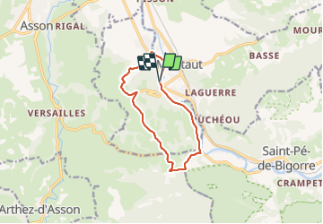

Length
11.2 km

Max alt
472 m

Uphill gradient
220 m
Km-Effort
14.1 km

Min alt
295 m

Downhill gradient
217 m
Boucle
Yes
Creation date :
2021-06-18 07:29:43.524
Updated on :
2021-06-18 12:13:09.526
4h08
Difficulty : Difficult

FREE GPS app for hiking
 SityTrail
IGN / Geographical institutes
SityTrail Plus
The world is yours!
About
Trail Walking of 11.2 km to be discovered at New Aquitaine, Pyrénées-Atlantiques, Lestelle-Bétharram. This trail is proposed by LouisROGER.
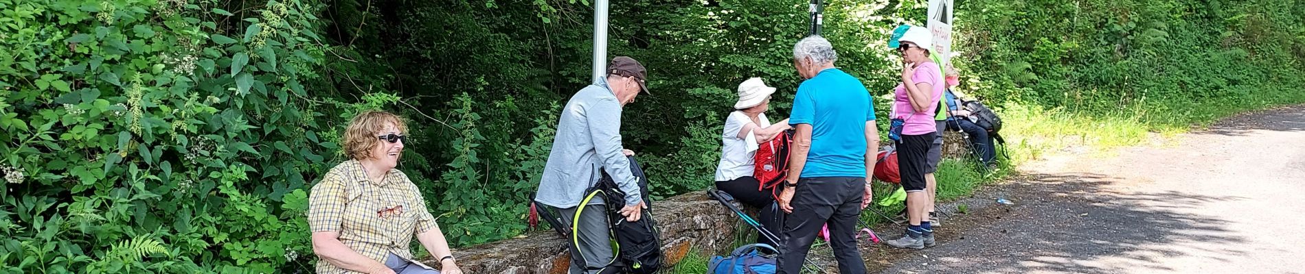
Photos

Positioning
Country:
France
Region :
New Aquitaine
Department/Province :
Pyrénées-Atlantiques
Municipality :
Lestelle-Bétharram
Location:
Unknown
Start:(Dec)
Start:(UTM)
727168 ; 4778450 (30T) N.
Comments